Benguela Basin Integrated Study (Angola)
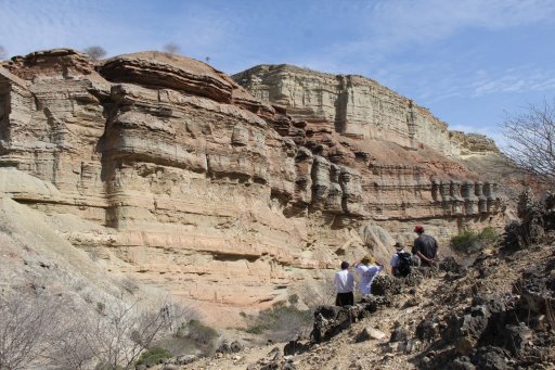
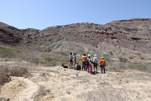
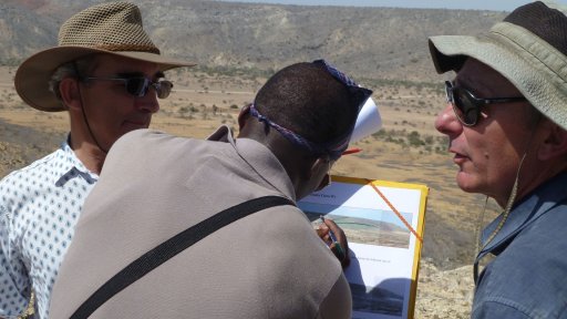
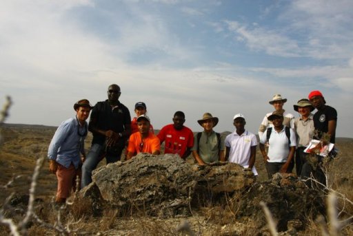
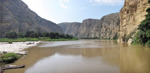
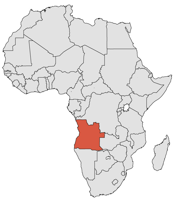
This course introduces participants to world class outcrops, unknown elsewhere, in the Benguela Basin of Angola.
- Course Type
Field Course - Duration
7 days - Thematic
Geosciences - Location
- Country
Angola -
Satisfaction rate
Who Should Attend?
This course is for any geoscientist with a basic knowledge of geology, and any participant at bachelor or master level. Participants must be in good health and physical conditions to attend.
Highlights:
This course describes key objects of Angola O&G industry. Four billion of oil equivalent barrels were already produced in such reservoirs. Participants will be able to visit exceptional rift context outcrops in a secure area.
Main Objectives:
- This field training is focused on National Angolan geological analogues reviewing Precambrian to Pleistocene Formations.
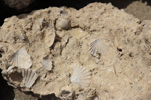
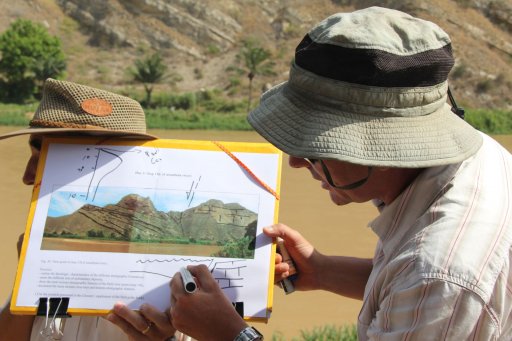
- From the interpretation of satellite images to the analysis of rocks & landscape, participants will discover a wide variety of methods, concepts and scale changes.
- Each analysis is done individually, then shared and discussed with the group, and finally integrated in a daily synthesis. At the end of the session, participants will fully understand the Benguela Basin structure, stratigraphy and historical geodynamics.
Learning Approach:
A highly participative learning approach is applied during the training session. Formal lectures are limited to summaries of key points. Mutual interactions enhance 4G integration (geologist, geophysicist, reservoir and geomatics). A regular knowledge progression is achieved through daily synthesis and FAQs sessions, in order to clarify individual doubts.
HSE Requirements:
Both leaders have a strong experience in field studies in remote onshore areas. A complete medical set (DBA) is available during the course. Links with hospitals can be activated on purpose through satellite phone. Each participant is required to provide a yearly medical certificate before attending this field training.
Main Topics:
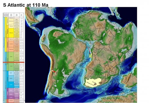
South Atlantic opening (Rifting), Benguela Basin progressive infilling (Drift phase), and salt tectonic development. Tectono-eustatic interpretation of successive T-R cycles. Geological mapping construction.
Benguela Basin ? Introduction to Angolan Geology
Day 1: Classroom Training in Luanda
Overview of satellite-imagery analytical methods applied to the Benguela Basin.
Day 2: Littoral Wave & Tidal Field Course
Sandy barriers geometries are key modern analogues of Angolan oil history. Mussulo lagoon will be studied on foot and by boat.
Day 3: Flight to Catumbela ? Aptian Salt
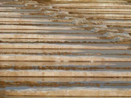
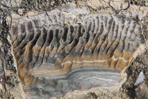
Flight from Luanda, check-in at the hotel, and then visit of the “Benguela Salina” and “Dombe Grande Gypsum” outcrops.
Day 4: Atlantic Ocean Rifting
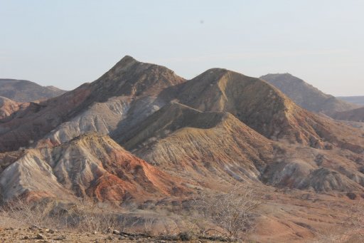
The outcropping strata in the Dombe Grande desert area allows us to recognize the early steps of the Basin creation during the Barremian and Aptian stages.
Day 5: Initiation to Salt Tectonics
(Chimalavera & Cacobongo area)
Day 6: Post Rift Basin Infilling
(Catumbela, Baia Azul, Baia Farta areas)
Day 7: Synthesis & Flight back to Luanda
Prerequisites
This course is for any geoscientist with a basic knowledge of geology, and any participant at bachelor or master level. Participants must be in good health and physical conditions to attend.
Lecturers
-
 Dr. SEYVE C.As a former geologist with Total, Christian has more than 30 years of experience in the oil industry, from HR stratigraphy to basin analysis. He worked for 12 years in Angola, being lecturer at A.Neto University and in charge of competencies development. Working as Geosciences Education Manager, he created local training programs, in which national case studies were warmly approved by the authorities as key elements of educative projects.
 -
 Prof. GUIRAUD M.Professor at the Dijon University in France, Michel has been the Director of several PhD theses on South Atlantic sedimentary Basins. For more than 30 years, he has been involved in numerous geological field campaigns (in Angola, Nigeria, Congo, Gabon, etc.) He is probably one of the best specialists of the Basins of the Southern Atlantic margins, having an extensive knowledge of their salt tectonics, sedimentology, specific crustal characterizations and evolution.
